Best Hikes in Haute-Savoie
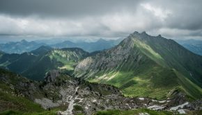
With an area of 4388 km2, Haute-Savoie (74) is a hiking area par excellence with its many massifs at both medium and high altitude. Haute-Savoie includes the following main massifs:
In this regard, you will find below a selection of hiking routes that I have been able to do in Haute-Savoie. Each hiking itinerary is carefully documented with a description, a route and photos. Feel free to send your comments or remarks by email or at the bottom of the corresponding articles.
18 February 2017 | by Pierre-Alexandre
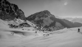
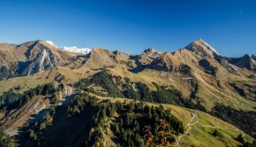
Little known by walkers because of its off-centered location towards the ski resort of Praz de Lys Sommand, Crête des Rasses nevertheless remains a nice hiking objective with its panorama on Haute Pointe, Pointe de Rovagne, but also Montagne d’Hirmentaz. Without difficulty
29 October 2016 | by Pierre-Alexandre
Located between Mont Charvin and Tournette, Montagne de Sulens offers a magnificent panorama on the Bauges Massif, as well as Aravis, Bornes, and Tarentaise. The hike doesn’t have any technical difficulties except the path that is sometimes hard to follow in its upper part
23 September 2016 | by Pierre-Alexandre
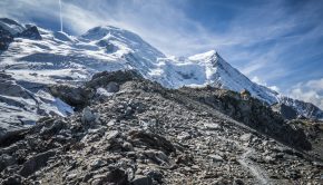
La Jonction (The Junction) is one of the classics of the Mont Blanc Massif and the Chamonix Valley. Joining the Bossons and Taconnaz Glaciers, La Jonction offers a staggering view of the Aiguille du Midi, the Dôme du Gôuter as well as the Aiguilles Rouges
8 September 2016 | by Pierre-Alexandre
Located between Glacier du Tour and Glacier d’Argentière, Montagne du Peclerey is a beautiful panoramic viewpoint on the Aiguilles Rouges Massif and Chamonix’s Grand Balcon Nord. Without any difficulties, the itinerary describes a loop from which one can admire Glacier du Tour
3 September 2016 | by Pierre-Alexandre
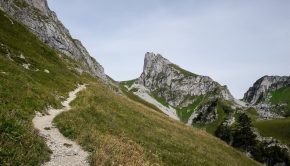
Located in the heart of the Pays de Gavot, Dent d’Oche, overlooking Lake Geneva, offers a surprisingly rich hiking objective. During the ascent, the trail through the alpine pastures changes rapidly as it goes up amidst rocks from the refuge
6 July 2016 | by Pierre-Alexandre
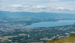
The Salève undoubtedly remains one of the most famous mountains in Haute-Savoie. Overlooking Geneva area, the Salève offers the hiker an unforgettable panorama on most of the surrounding Massifs. In summer, the Salève is the ideal place for paragliding and climbing
29 June 2016 | by Pierre-Alexandre
Pointe de Chalune is a typical family walk that will allow one to discover the summits of the Chablais from a considerable altitude while remaining accessible to the greatest number.
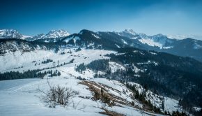
It is also a superb hike in winter in snowshoes
19 March 2016 | by Pierre-Alexandre
Located in Chablais Massif close to Hirmentaz ski resort, Pointe des Jottis is an interesting walk for training at the beginning of the season.
Taking the trail part of the “Tour des Crêtes de Bellevaux,” the route is very easy, with a first part in the forest, then a long, relatively flat passage
23 February 2016 | by Pierre-Alexandre
Pointe de Sur Cou, whose toponym means “the peak above the pass,” presents itself as a vast grassy dome on the heights of La Roche-sur-Foron. In spite of its average altitude, the top offers an unexpected panorama with a splendid 360 ° view of Lake Geneva area
22 January 2016 | by Pierre-Alexandre
Located in the heart of the Vallée Verte in Chablais Massif, Pointe de Miribel is an ideal objective for an initiation to winter hiking or for training a bit in the beginning of the season. Easily won, the summit provides a magnificent panorama of the
27 December 2015 | by Pierre-Alexandre
The view from Pointe d’Uble highlights the mountains that surround it thanks to its location in the heart of Chablais. All the Massifs of Haute-Savoie are exhibited in the eyes of the hiker whose memory will remain marked by the multitude of peak
20 December 2015 | by Pierre-Alexandre
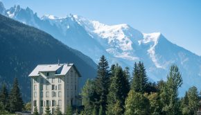
The Prarion, whose toponym evokes a “round meadow” or “ruined meadow,” is undoubtedly a beautiful winter hike. Located at the end of the Chamonix valley, this summit will enchant the hiker with the splendor of the panorama unveiled on Mont Blanc, Aiguilles Rouges, Fiz, and Aravis

