Hikes whose ascent lasts between two to three hours.

Browsing the "Ascent = 2-3 hours" Tag
The Vuache
17 May 2008 | by Pierre-Alexandre
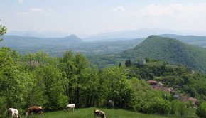
The Vuache is located in the west of Haute-Savoie. It is part of the Jura Massif from which it is separated by the Cluse of the Rhône. The Vuache is a narrow secondary range of 14 km in length and 1.5 to 3 km in width, Northwest-Southeast oriented
Lac du Mont Charvin
16 August 2007 | by Pierre-Alexandre
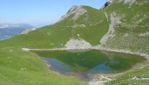
Located at the southern end of the Aravis Range, Mont Charvin dominates the town of Ugine. The Lac du Mont Charvin, nestled in a beautiful basin at the foot of the eponymous summit is the goal of this hike. There is no real difficulty: a very short and steep passage under the Col des Porthets and a brief
Tour des Rochers de Leschaux
3 August 2007 | by Pierre-Alexandre
The Tour des Rochers de Leschaux is part of the excursions demanding little effort, but which still require a good physical condition considering the length of the itinerary, as well as a secure foot to get through several steep passages with high declivity (but no exposed passages). The Rochers de Leschaux
Aouille de Criou
1 July 2007 | by Pierre-Alexandre
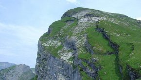
The Aouille or Aiguille du Criou is a large rocky plate that culminates at 2023 m of altitude by a vertiginous cliff of more than 700 m above the Refuge de Folly. Highly visible from Samoëns, the Criou Massif is a belvedere of choice on the Valley of the Giffre, with a superb outlook on the Aravis
Bois d’Hermance and La Coule
31 March 2007 | by Pierre-Alexandre
The Bois d’Hermance, located on the heights of Megève, is the object of a beautiful winter hike. Intended for hikers who have already practiced snowshoeing, this itinerary of average difficulty leads under the slopes of Mont Joly after passing through a pretty coniferous forest
Pointe d’Ireuse
3 November 2005 | by Pierre-Alexandre
Little visible from the valley, Pointe d’Ireuse presents itself rather under the appearance of a vast dome than under the aspect of a peak. The itinerary describes a loop passing through the Chalets de Nifflon d’en Bas, then the picturesque chapel of Nifflon d’en Haut, with a return to the
La Tournette
23 July 2005 | by Pierre-Alexandre
La Tournette is a superb spot to contemplate all the summits above Lake Annecy as well as the Aravis Range and the Mont Blanc Massif, sometimes hidden by the clouds when it's hot. This route is somewhat technical in its final part, as many passages are equipped with cables and
Pic du Jallouvre
15 July 2005 | by Pierre-Alexandre
Pic du Jallouvre remains a very beautiful excursion reserved for the experienced walkers. If the beginning of the trail is a charming bucolic walk in the alpine pastures of Cenise, what follows next is quite different: very quickly, the path passes near a vast scree
Roc and Lac de Tavaneuse
20 June 2005 | by Pierre-Alexandre
The itinerary presented here describes a loop which allows discovering the whole site of Tavaneuse. All the beauties that one can meet during a hike are part of the scenery: high peaks, a lake, waterfalls, exposed paths, alpine pastures, late névés, and very abundant flora on the whole course. This hike
Lac de Lessy
6 June 2005 | by Pierre-Alexandre
The Lac de Lessy is nestled in a valley at the foot of the Jallouvre, the Buclon, and Aiguille Verte. The route proposed from the Chinaillon is intended for good walkers; It takes a route that goes through Aiguille Verte before going down to the Lac de Lessy. In the first part of the trail, signs inform
Pointe de la Gay
16 May 2005 | by Pierre-Alexandre
Being the highest peak of a massif of average altitude, Pointe de la Gay dominates a vast plateau and discovers a 360 ° panorama on Lake Geneva including Roc d'Enfer, Cornettes de Bise, and Pointe de Chalune among others. The itinerary describes a loop using paths, starting with the paved road at
Pointe d’Autigny
2 May 2005 | by Pierre-Alexandre
Easily accessible, Pointe d'Autigny is the goal of a hike that allows discovering mountain pastures at the foot of Mont Chauffé. The summit offers a splendid panorama on Cornettes de Bise, Mont de Grange, Pointe de Lachau and the Portes d'Oche
