Mont de la Belle Combe (Bella Comba)
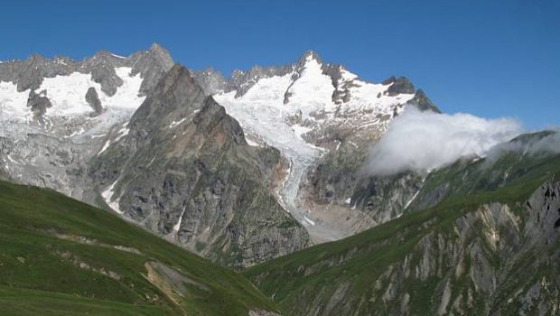
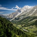
Very popular with walkers around Mont Blanc, the Val Ferret impresses by the incredible view on the Italian slope of the Mont Blanc Massif.
Not very frequented, Bella Comba is a monumental belvedere on the spectacle offered by the Val Ferret.
Almost off the trail from the beginning to the end of the itinerary, Bella Comba remains a pleasant stroll.
Easy until the sheepfold of Arnuva, the trace becomes much more discreet in the alpine pastures of Arnuva, where some cairns, worn out by time, will indicate the way. Despite this, a certain sense of direction is required.
The last ascent in the direction of Bella Comba is very steep, but the panorama will erase the efforts provided.
- Difficulty: Hard
- Altitude: 2,701 m
- Ascent: 3 hours 00 min
- Descent: 2 hours 00 min
- Elevation Gain: 1030 meters
- Round-trip: 8.6 km
- Map: IGC 107
Getting There
At the end of the Mont Blanc Tunnel on the Italian side, turn left at the first switchback in the direction of Val Ferret.
Follow the road on a dozen kilometers to reach the hamlet of Arnuva and its cabin refuge on the right. Pass the small bridge and follow the road for about 400 meters, to park in a small car park at the start of the ride of the Refuge Elena, marked with yellow signs.
Please note that parking in the Italian Val Ferret is subject to a charge and limited to 260 spaces. Access is controlled by automatic barriers. Access by car to Planpincieux is not possible if the maximum number of cars has been reached. It is therefore important to leave very early in the morning to avoid any unpleasant surprises!
It is strongly recommended that you park your car in Courmayeur and take the free shuttle bus (green line) that runs the entire length of Val Ferret: https://aosta.arriva.it/courmayeur-mont-blanc/
GPS Coordinates (WGS 84) of the Starting Point: 45.868741, 7.047781
Ascent
From the parking lot, go back for about 500 meters, to pass the turning area of the buses, and reach a little meadow on the left, closed by a chain.
A beacon painted on a solid block (“26, Belle Combe”) and a wide white information sign mark the start of the track.
The path describes several switchbacks to lead to a first intersection devoid of any markings. Turn right, and, a few switchbacks later, you reach the Sheepfold of Arnuva.
From here, it is necessary to ignore the elements of signage: the marked trail, leading to Bella Comba, runs along a beautiful exposed cornice overlooking the valley, but the route is disintegrated and exposed to the falls of stones (indicated by a white sign at the beginning of the ridge).
You, therefore, have to cut through the alpine pastures of Bella Comba; Above the sheepfold, follow to the left in the direction of the crest dominating the valley of Bella Comba to reach the ruins of a second chalet.
From there you have to continue climbing staying far to the left, to see several hundred meters away, the first cairn on a rocky slab. Keeping to the left, you arrive at a plateau where you can distinguish the peak.
Descend into the grassy valley on a cow path, to quickly reach the bottom of the summit of Bella Comba, delimited by a cattle fence.
Walk in the direction of the peak, recognizable by a frame in V at its top. There is no trace leading to the summit: it is necessary to cut through the slope.
Descent
Take the same route as described above, taking care to follow the ridge overlooking the valley of Bella Comba as the cairns will be easier to distinguish on the descent.
Photos of Mont de la Belle Combe (Bella Comba)
Route
Download the paper route (PDF) Download the route (KML) Download the route (GPX)
This post is also available in Français


