Hard hikes (850 to 1500 m of elevation gain, 3 to 4 hours of walking, 10 to 20 km round-trip) in Haute-Savoie, Switzerland and Italy.

Browsing the "Hard" Category
Cornettes de Bise
20 July 2006 | by Pierre-Alexandre
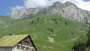
The Cornettes de Bise offers a beautiful panorama but requires a real effort to reach its summit. The hike is difficult because of the length of the course, the important gain and a long very steep passage somewhat exhausting for the legs. Many exposed passages require great vigilance. The itinerary
Pointe et Lac de Tardevant
18 July 2005 | by Pierre-Alexandre
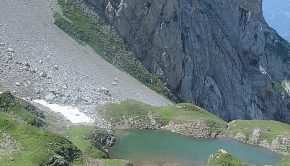
The Aravis Range is made up of a succession of combes delimited by calcareous peaks. The combe of Tardevant is situated in middle and is the only one to have a lake, which makes it a perfect hiking destination. The itinerary runs along the slopes of the Grand Crêt
Pic du Jallouvre
15 July 2005 | by Pierre-Alexandre
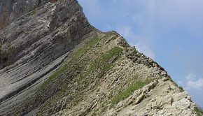
Pic du Jallouvre remains a very beautiful excursion reserved for the experienced walkers. If the beginning of the trail is a charming bucolic walk in the alpine pastures of Cenise, what follows next is quite different: very quickly, the path passes near a vast scree
Roc and Lac de Tavaneuse
20 June 2005 | by Pierre-Alexandre
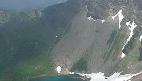
The itinerary presented here describes a loop which allows discovering the whole site of Tavaneuse. All the beauties that one can meet during a hike are part of the scenery: high peaks, a lake, waterfalls, exposed paths, alpine pastures, late névés, and very abundant flora on the whole course. This hike


