Hard hikes (850 to 1500 m of elevation gain, 3 to 4 hours of walking, 10 to 20 km round-trip) in Haute-Savoie, Switzerland and Italy.

Browsing the "Hard" Category
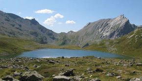
Lac des Chambres
30 August 2011 | by Pierre-Alexandre
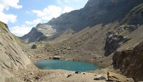
The Lac des Chambres, nestled at the foot of Pointe Rousse and Roches de la Couarra, is the objective of this walk. Formerly covered with late névé and icebergs, the Lac des Chambres today is a real “observatory” on the direct consequences of global warming
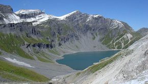
Lac de la Vogealle
7 August 2011 | by Pierre-Alexandre
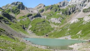
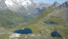
Lac de la Vogealle, located just east of Haute-Savoie in the Giffre Massif, is a source of wonder for the hiker. Surrounded by Dents Blanches, this lake offers a magical spectacle on the rare summits of more than 3000 m of the department accessible without
Mont Joly
15 August 2010 | by Pierre-Alexandre
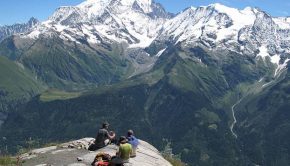
Well visible from the Sallanches Valley, Mont Joly is a true observatory on the Mont Blanc Massif as well as the surrounding massifs, such as the Aravis Range or the Vanoise Massif. Like the peaks of the Italian Val Ferret
Mont de la Belle Combe (Bella Comba)
28 July 2010 | by Pierre-Alexandre
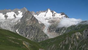
Very popular with walkers around Mont Blanc, the Val Ferret impresses by the incredible view on the Italian slope of the Mont Blanc Massif. Not very frequented, Bella Comba is a monumental belvedere on the spectacle offered by the Val Ferret
Lacs Jovet
20 August 2009 | by Pierre-Alexandre
The Lacs Jovet are the objective of a very nice hike for the well-trained walker given the length of the course. Taking the Tour du Mont Blanc circuit, the route offers a magnificent landscape along the path that attracts the eye
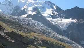
Nid d’Aigle and Bionnassay Glacier
14 September 2008 | by Pierre-Alexandre
The Nid d’Aigle is the terminus of the famous Mont Blanc train, the arrival point of a very large number of tourists of all nationalities and departure of the route to Mont Blanc. The route passes through the pastures of the Are and follows
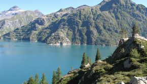
Cheval Blanc and Lacs d’Emosson
31 August 2008 | by Pierre-Alexandre
Overlooking the beautiful site of Emosson, the Cheval Blanc, facing Mont Buet, is a superb plateau offering a 360 ° panorama over the entire Alps. Weather is primordial for this hike; It is necessary to benefit from a clear sky
Lacs d’Emosson, Traces de dinosaures, and Col de la Terrasse
31 August 2008 | by Pierre-Alexandre
Long ago, on the beach of Emosson, some clay dried. Later, some 240 million years ago, a herd of archosaurs (ancestors of dinosaurs and crocodiles) passed; They have engraved their tracks in the clay. The water covered
Tête de Bostan and Col de Bostan
6 August 2008 | by Pierre-Alexandre
Let’s go to Morzine for a hike that takes part of the “GR 5 Tour des Dents Blanches” to get to the Tête de Bostan. The route starts from the Pont de Chardonnière, crosses the Terres Maudites
Tête Pelouse
26 July 2008 | by Pierre-Alexandre
Tête Pelouse is the object of a superb hike that will make you discover the Aravis Range and the beautiful Valley of Confins. Not so far from the Lac and Pointe de Tardevant, the itinerary reaches a rocky summit not very frequented that offers an unforgettable point of view
Col du Grand-Saint-Bernard and Lacs de Fenêtre
30 September 2007 | by Pierre-Alexandre
The journey begins in Switzerland, in the canton of Valais, at the Col and Hospice du Grand-Saint-Bernard for a very nice outing. The altitude of the starting point (2469 m) and the highest point of the hike (2775 m) offer magnificent panoramas on the
Aouille de Criou
1 July 2007 | by Pierre-Alexandre
The Aouille or Aiguille du Criou is a large rocky plate that culminates at 2023 m of altitude by a vertiginous cliff of more than 700 m above the Refuge de Folly. Highly visible from Samoëns, the Criou Massif is a belvedere of choice on the Valley of the Giffre, with a superb outlook on the Aravis
